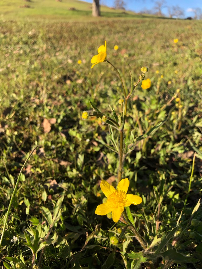
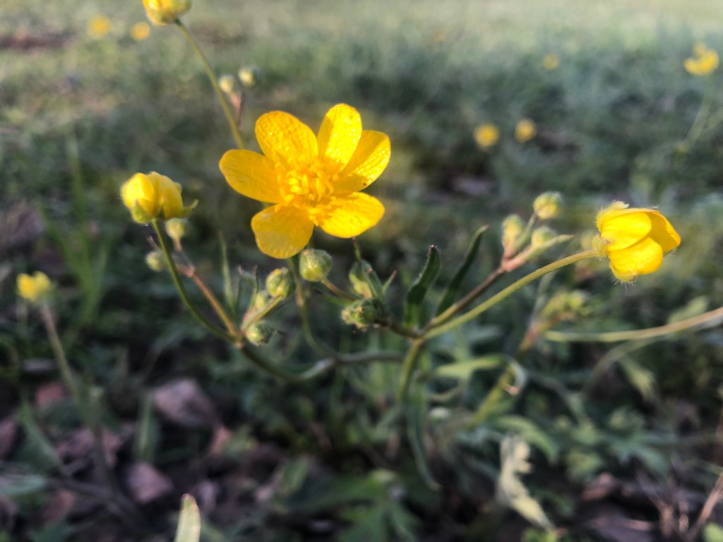
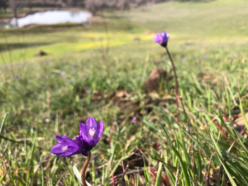
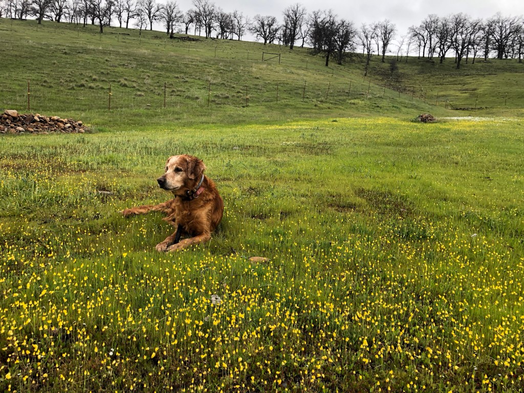
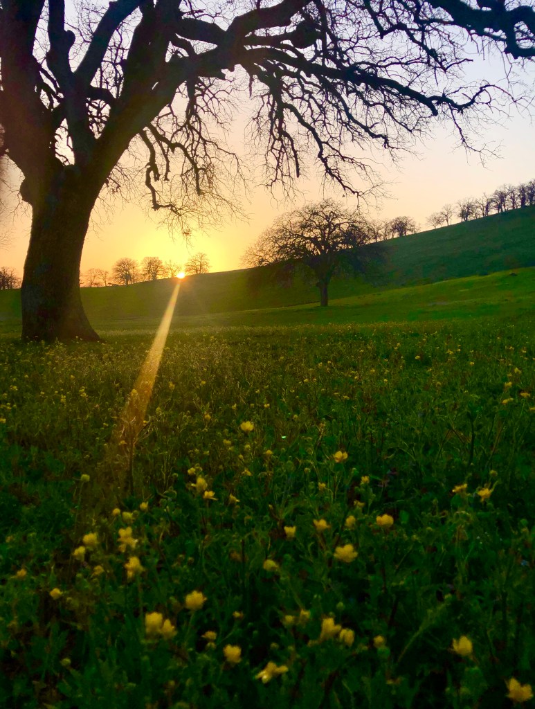
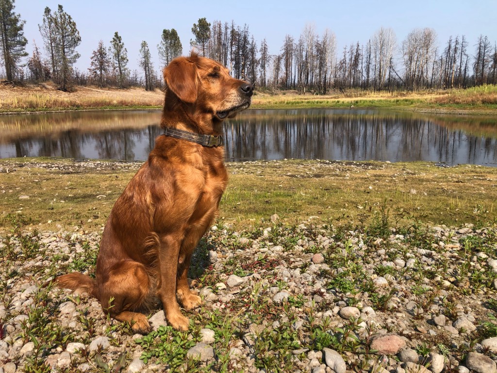
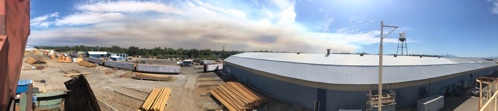
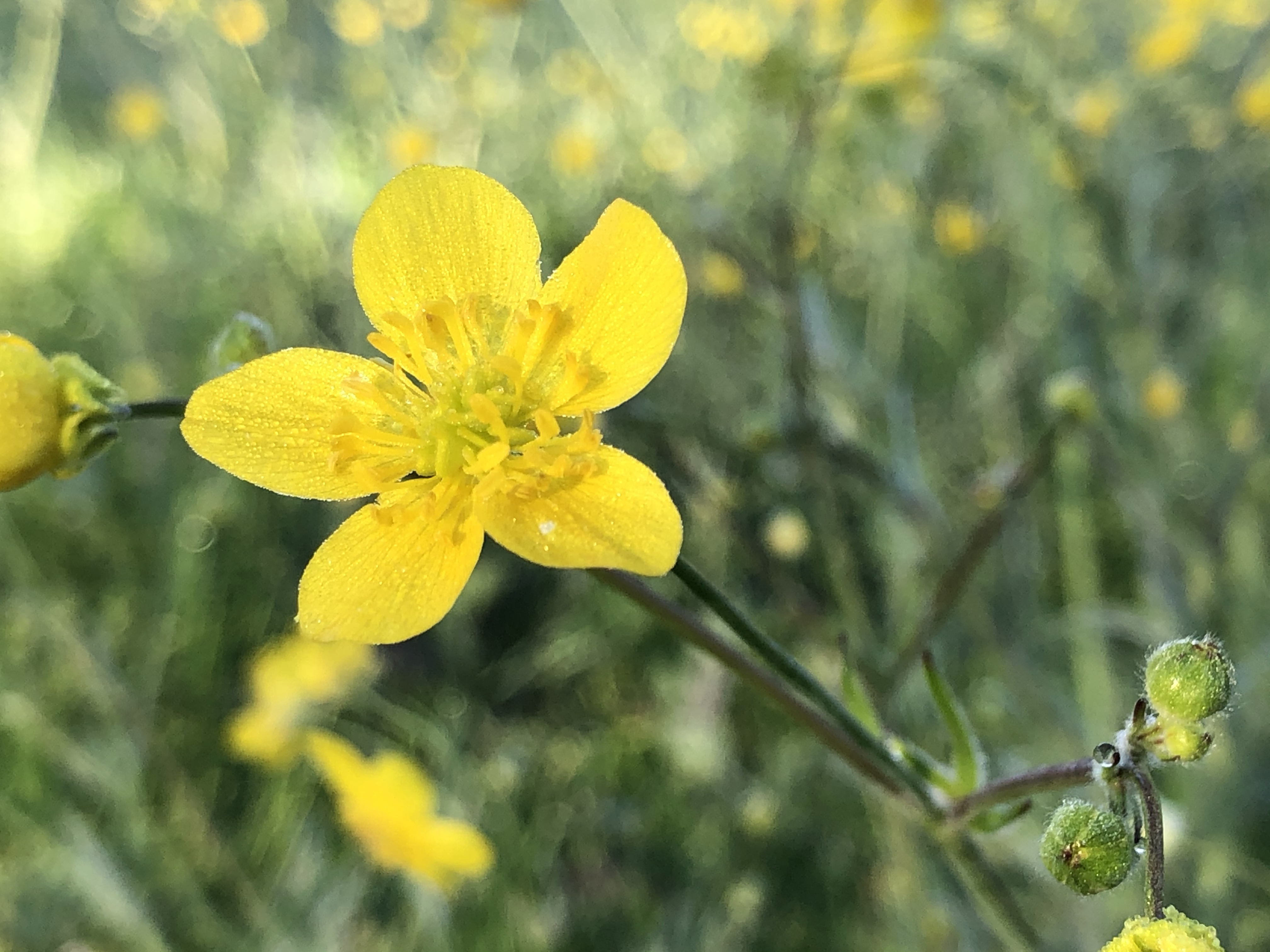
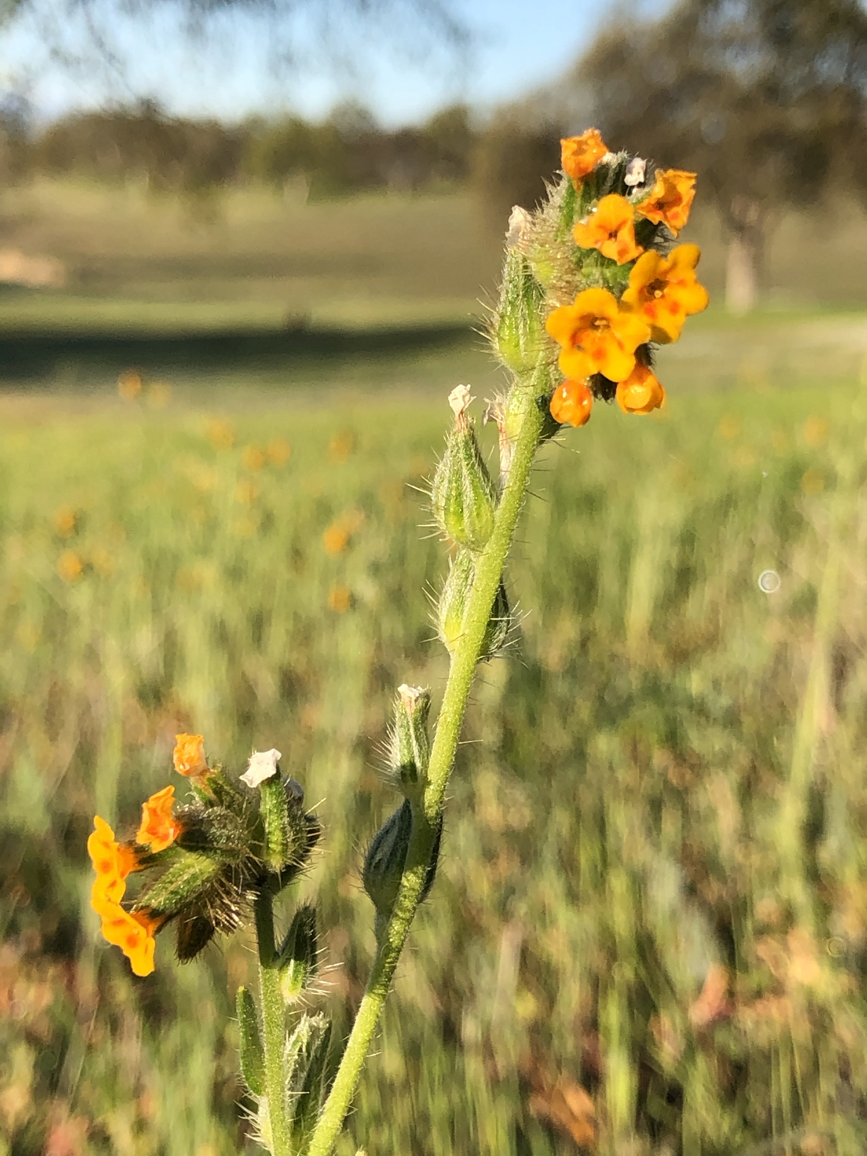
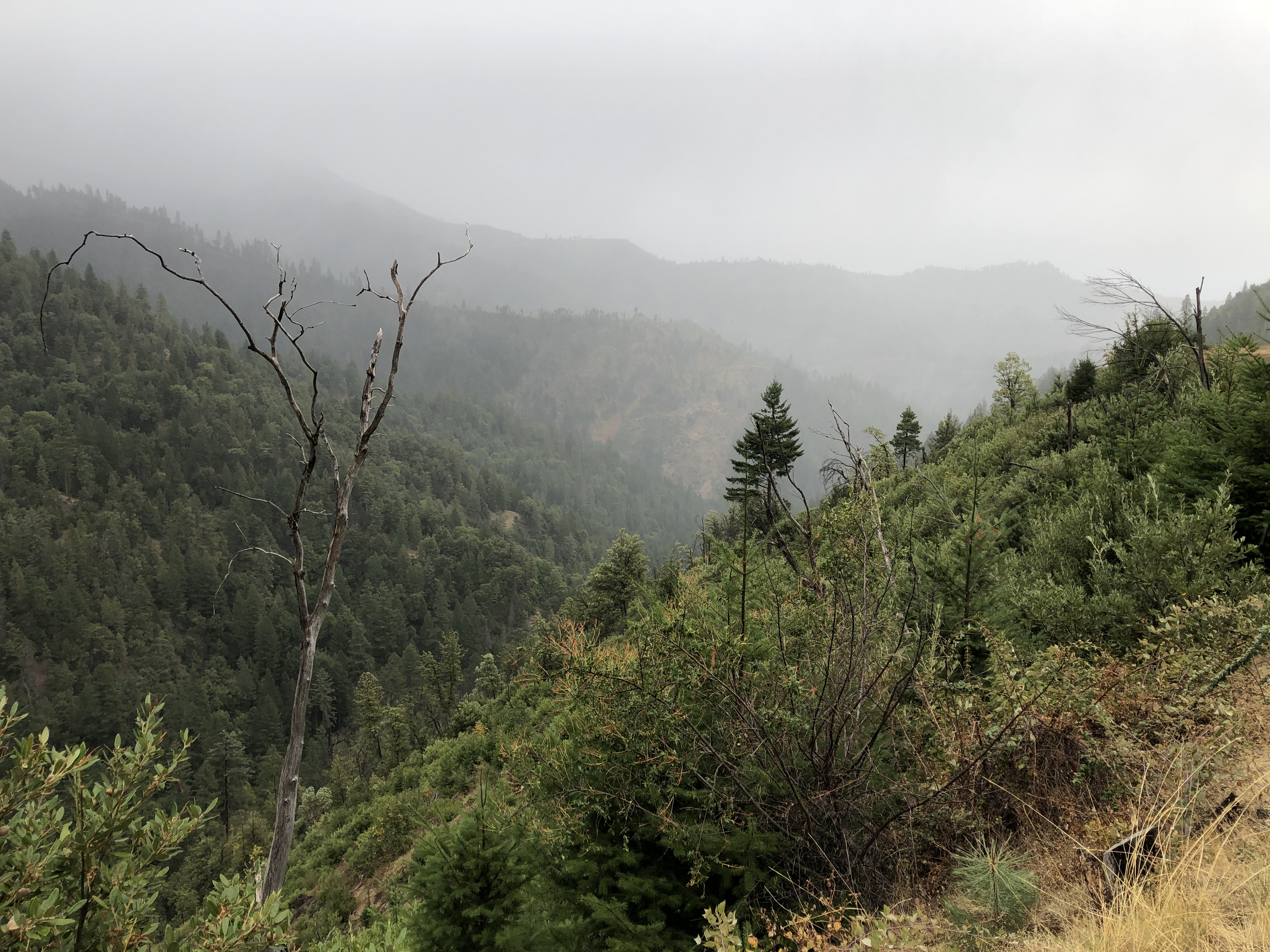
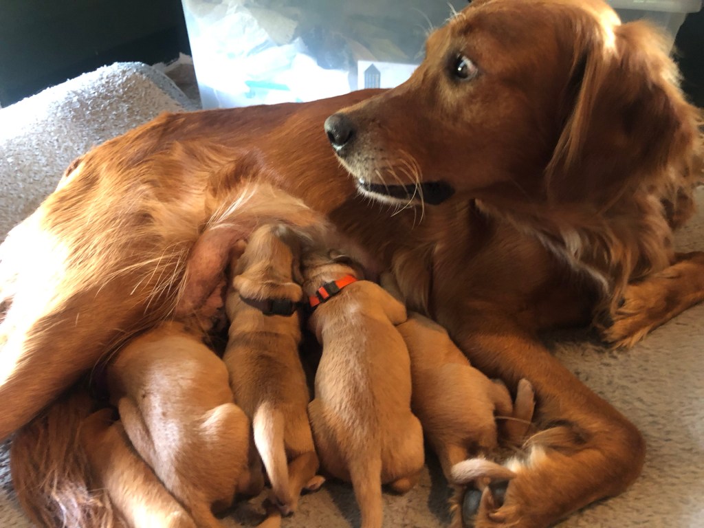
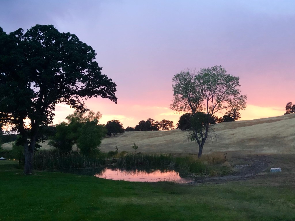
Looking toward Mt Shasta over the pole yard.
This fire season in California has been epic in the worst possible way. Not only did we have the state’s largest recorded wildfire, the Ranch Fire, but we’ve had the most destructive fire, the Camp Fire. During any prior year the Carr fire would have been the most destructive fire in California, but this year has been exceptionally bad for wildfires.
I was out checking in on one of our salvage logging contractors on the Carr Fire last week. The timber salvage operations are well under way. Click on the gallery of images to read about it.
Since I wrote this post the rains began in earnest. Our fire season has come to brutal end.
I drew this pen and ink while Mary and I were sitting in a ground hunting blind two deer seasons ago. It’s of a female downy woodpecker that I photographed earlier that season. I took it when we were in another blind. If you consider that I completed the drawing while waiting for deer you can probably deduce that no deer were harmed during the drawing of that picture. We always do most of our shooting with a camera.
I was out in the Carr Fire burn area today. It’s quite devastating to see the thousands of burned acres of forest. This fire destroyed over 1600 structures, but it also killed millions of trees. We are faced with an epic fire salvage operation that will take years to complete. That will be followed by an equally epic reforestation program
Just look at this late summer flower. I took this picture near our home and happen to find it beautiful. What I would like to know is who came up with this name, yellow tarweed. That’s a terrible name and it just doesn’t do this flower justice. My favorite flower name of all time is indian paintbrush. That’s a name. It cries out ART! Tarweed cries out stick pest plant. Yuck! It needs another name. How about starburst or golden glory! What do you folks think? Give me some names.
This morning the sky had an apocalyptic pall over it. Colors were shifted from the smoke filtered light. Ash had fallen on our property. Now our home isn’t close to the fire. We aren’t in any danger. Most of our friends are much closer. Many have had to evacuate. With Google Earth I was able to determine that we were 22 miles from the fire as the crow flies. That’s how far the ash had traveled.
Based on latest hot spot map the fire may have spread south of Highway 299 near Redding. This is a terrible development. Hopefully the firefighters can stop the spread. Fortunately, it didn’t reach the forecast high of 113 today. It just made it to 111. Nevernind, I just found out it did reach 113.
It’s summertime and the living is easy.
This group of bucks was just down the road from the house.
In our backyard another buck eats his fill out on the island our the pond.
With a full belly he wandered up the ridge.