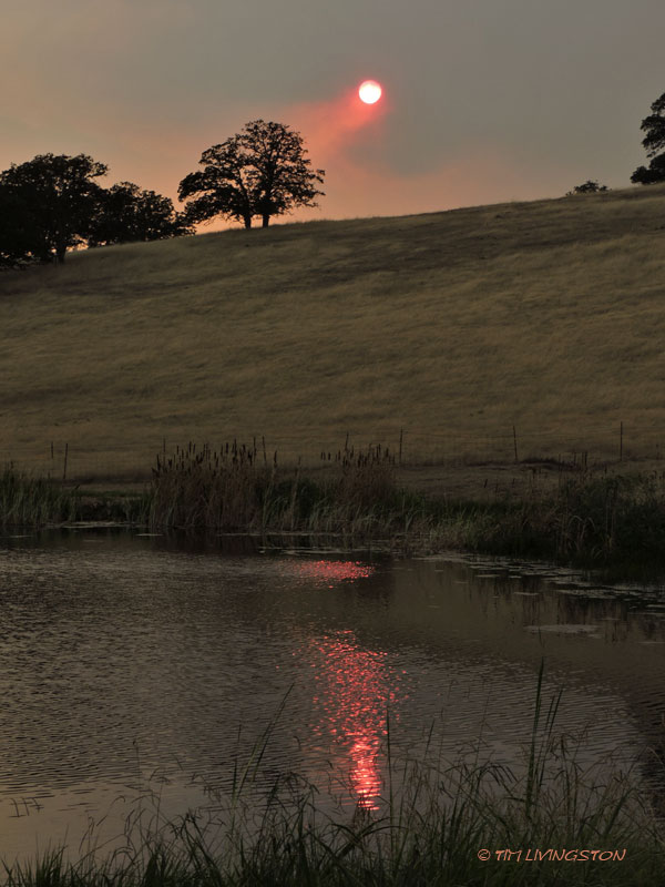
This fire season in California has been epic in the worst possible way. Not only did we have the state’s largest recorded wildfire, the Ranch Fire, but we’ve had the most destructive fire, the Camp Fire. During any prior year the Carr fire would have been the most destructive fire in California, but this year has been exceptionally bad for wildfires.
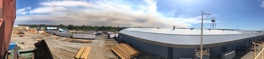
I was out checking in on one of our salvage logging contractors on the Carr Fire last week. The timber salvage operations are well under way. Click on the gallery of images to read about it.

This view is from the Highland Ridge Road looking down at the Community of French Gulch. Over the course of a couple weeks the fire made a run at the town three separate times. Many homes were destroyed.

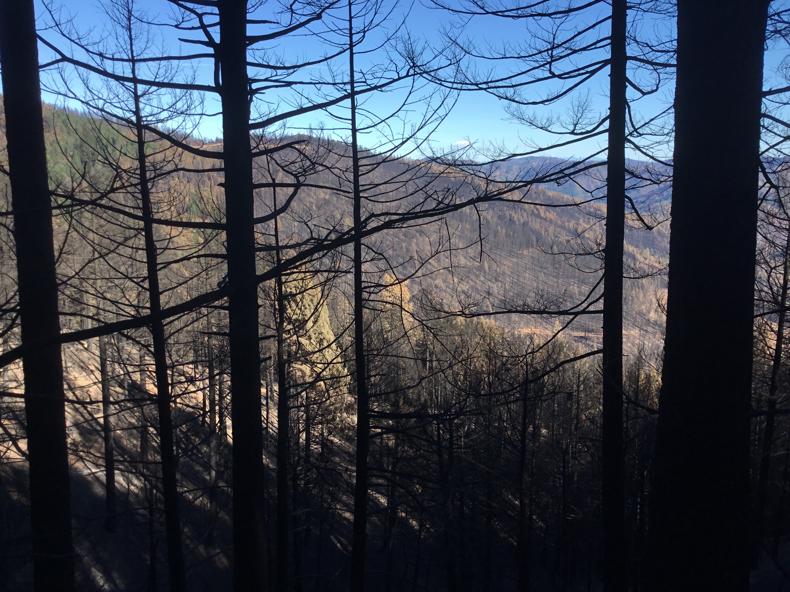
The Carr Fire left hundreds of millions of board feet of dead timber in it’s wake.

It’s like a ghost forest.

Bark beetles immediately invaded the fire killed trees. In the spring they will spread the many of the surviving trees.

This is one of many of our salvage loggers. It is imperative to get the wood to the mills as fast as we can. It begins to deteriorate as soon as it’s dead. The tractor is skidding trees to the processor,. The processor cuts the trees into logs, while the loader sorts the logs into decks.

Here the processor manufactures trees into logs.

A couple of big logs waiting to be skidded into the landing.

On steeper ground we use track laying skid cats to move the trees to the landing. The land around Redding that burned is very steep.

The logs get sorted by size and species while waiting to be delivered to the mill.

The trees don’t always burn completely during the fire, but the heat alone is enough to kill them.

This part of the forest had been thinned before the fire. By spacing out the remaining trees the fire burned at a lower intensity. The fire wasn’t as hot, the flames were smaller, and the remaining trees were resilient enough to survive the fire. Thinning these trees in a logging operation saved them.

Even now, weeks after the fire was contained there are still hot spots out in the burn. We may still find some hot spots in the spring.
Since I wrote this post the rains began in earnest. Our fire season has come to brutal end.